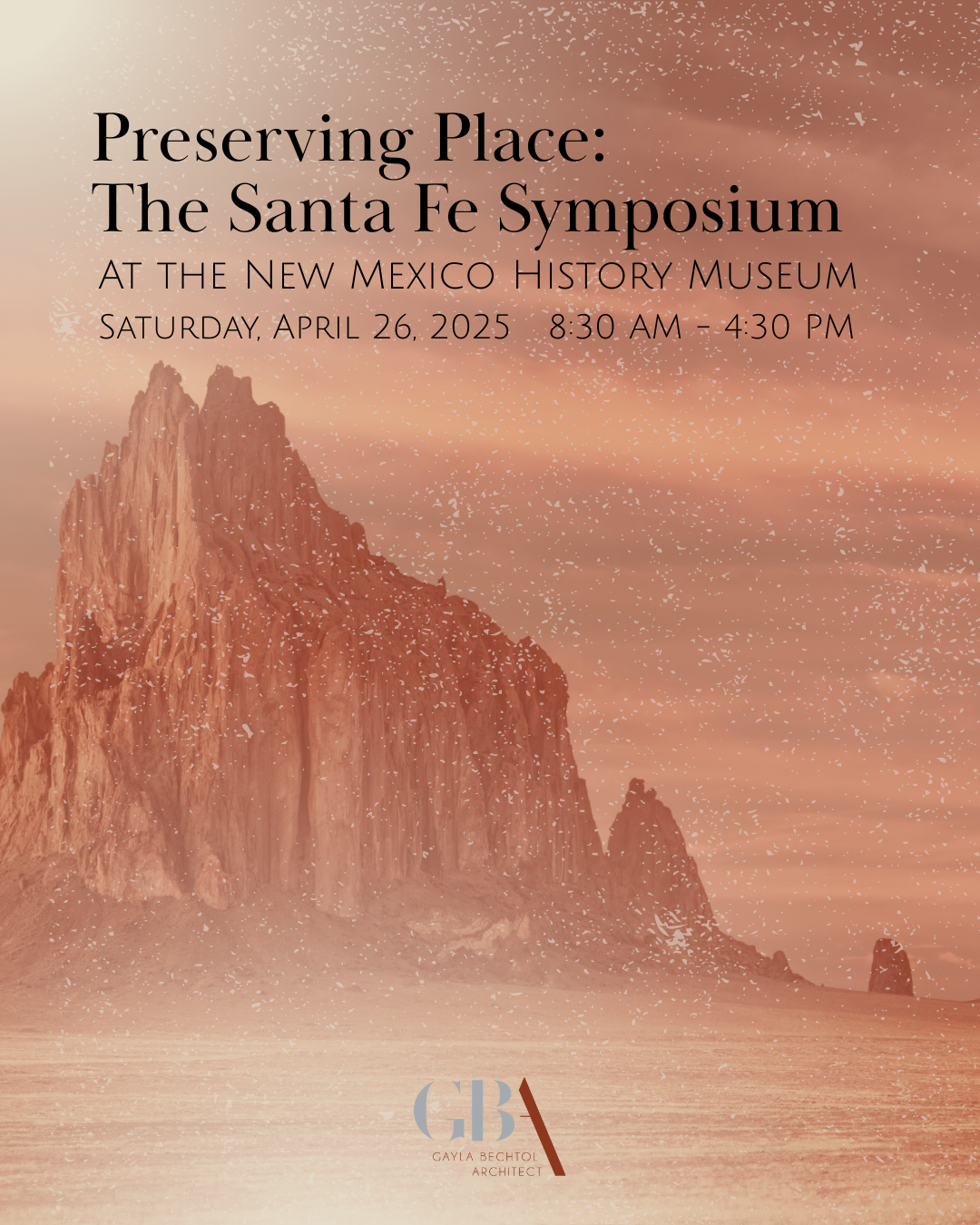
No. 28 | Urban Sense: Dreaming of a Future Optimism
In the July edition of The Santa Fe New Mexican’s Home Magazine, I discuss how Santa Fe can balance thoughtful urban design and historical preservation with the need for future growth, urging a more connected, inclusive, and optimistic approach to development that honors the city’s character while planning for its evolution. Urban Sense.
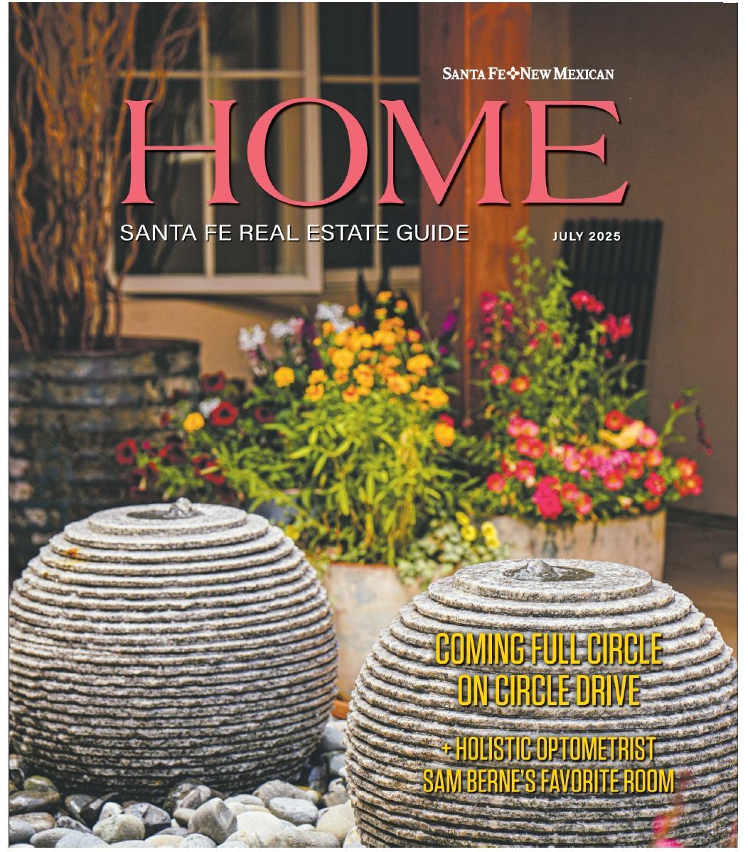
Read The Article:
When time allows, I enter Santa Fe from Interstate 25 along Old Pecos Trail. More than 30 years ago, this was the only two-lane road into town. Since being redeveloped (to allow more cars to get into town more quickly), it’s not as quaint as it once was, but it’s still the best scenic approach into town. During the general plan process in the ’90s it made sense to protect the roads into Santa Fe. Cerrillos Road was fast becoming the anywhere-in-the-USA entrance it is now; St. Francis Drive remains the scar it has always been—pushing its way through existing neighborhoods; and Zia Road, a new route created along with the development there, incorporated principles of the “multicentered town” to take the pressure off downtown while still providing walkable areas. But Old Pecos Trail still represented Old Santa Fe, affording open spaces and views to the mountains.
Back when they opened up Old Pecos Trail, the city chose overlay districts to protect the highway corridors into town from the south, primarily restricting height to 25 feet within 600 feet of the right-of-way, and increasing the setback to 75 feet from the right-of-way for Old Pecos Trail. At the time, this land was still on the edge of town, and felt rural enough to protect one of the city’s unique entry points by approximating the historic and pre-historic route into town from Pecos and Galisteo.
I was reminded of this during last month’s Heritage Preservation Awards, which caused me to reflect on the saving of historic buildings, of which there are few, and ongoing efforts to preserve the setting of Santa Fe with scenic corridors.
Urban design of our town has always been critical. That’s why I named my column Urban Sense: I try to address what makes sense. We don’t want to just throw away the character of Santa Fe so we can have housing; conversely, we don’t want to just use these overlay districts as weapons to keep housing out, where none has been before, or use them to lower the height of buildings only to creep to the southwest with single-family housing as the goal, thereby increasing the things that make Santa Fe increasingly unlivable.
Surprisingly, the urban design principles laid out in the general plan of 1999 are still relevant. Density was envisioned appropriately in this document, just as it was in a draft for an urban design plan (circa 2016) that concentrated density along the transportation corridors of Cerrillos and St. Francis and Airport Road. They called this plan Centers and Corridors. (Both of these documents can be found on the city’s website under “Long Range Planning.”) This Centers and Corridors strategy allows for both higher density in some areas (thereby accommodating for housing and commercial development) and lower density in others (again, for development), while still granting higher-density areas the ability to benefit from existing or new transportation access.
The strategy of concentrating development in some areas while keeping less in others is essentially the strategy laid out in the 1947 comprehensive plan. This strategy is not perfectly aligned with some values, but it made me wonder: If we design the “centers and corridors” as carefully and thoughtfully as we design and protect the older neighborhoods in Santa Fe, would that make for a more harmonious city? What I see now is that every proposal for a higher-density project has to run the gauntlet of every city committee, making it ever more expensive to build and gutting the project what little urban design it had when first presented.
Santa Fe isn’t going to stop attracting new residents and visitors. How, then, do we accommodate all of us without negatively impacting those already here? For me, a blanket height limit is not the answer. So how can we encourage better development and design—D&D that includes connectivity for both new and old neighborhoods? (In other words, is there a way we can dictate picturesque massing that avoids the plain brown box?) How can we allow some diversity of contemporary expression in our historic neighborhoods? Since there are so few buildings left that are actually historic (see the 1947 plan on the Friends of Architecture website), perhaps we should rename them Walkable Urban Design Districts, which might include more neighborhoods and ultimately encourage connectivity and connections.
I am not the first to point out that the neighborhoods we love we can no longer build based on our current codes. But it is ironic that buildings along Canyon Road have to apply for Alternate Compliance zoning for setbacks, parking and landscape standards—because the suburban zoning (inherited from the 1947 general plan) won’t OK another building.
I would like to see us pay attention to good urban design, present and future, and focus on this more closely in order to preserve communities and memories, and in ways that don’t appropriate or erase the cultural languages that came before us. The big question is: Can we do this in a way that honors the past while establishing a connection to the optimism of the future?
Related Articles